Tag Archives: Northwest Passage

October 17: Steaming South, Amundsen Gulf


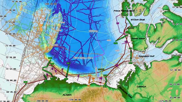
Map of the Cruise Track (courtesy Healy Map Server)

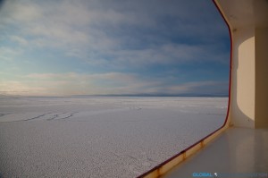
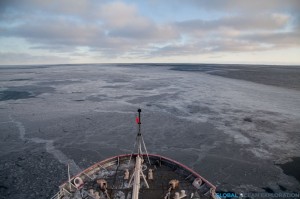
After an exciting two days in the ice, it was time to head south to our next sampling area at the mouth of Amundsen Gulf. Half of our transit was in thick ice so the ship rattled and shook all night as we broke through the ice. There is nothing quite like being on an ice breaker as it is very loud as we go through the ice and as we hit larger pieces of ice, the hull rattles and sounds as if it is going to break. It is quite an experience and unlike anything else. At around 3am, we hit open water and could then move faster towards our next stations about 240 nautical miles away.


Like the previous two days, we are sampling at the mouth of one of the straits of the Northwest Passage. For centuries, explorers had looked for ways to navigate these waters to find a faster way to reach Asia for trade, although never successful in this mission due to ice blocking the passage. Much like these explorers of the past, we are looking for modes of passage to the Atlantic but instead of searching for trade routes, we are looking for the pathways with which Pacific water is entering the North Atlantic. During the summer, Pacific water takes a one-way journey to the Arctic Ocean through the Bering Strait and the question is: how does this Pacific water get to the Atlantic Ocean? Does it find the long sought after pathway through the Northwest Passage or does it find another route? We are hoping that sampling in these two straits will reveal the answer to this mystery or at least add some insight into this complex system of water movement. One thing is certain, the global “conveyor belt” of ocean circulation is certainly more complex than we once thought.


Sea Smoke rising off the water in the early morning near Amundsen Gulf


October 16: Northernmost Point of Cruise


After a beautiful sun-filled day sampling in the ice that included a sighting of a polar bear, we reached the northernmost point of the cruise, just two nautical miles offshore of Prince Patrick Island on the north side of M’Clure Strait at 75.42 degrees North.  It is very cold up here with temperatures hovering around 3 degrees Fahrenheit, -13 degrees F with wind chill!  Despite the cold temperatures, I spent much of the day outside, going inside only when I could no longer feel my fingers enough to hit the shutter on my camera.  We finished our sampling line just as the sun set and the moon rose over Prince Patrick Island.  It was another stunning day in the Arctic!


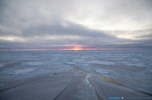
Sunrise in M’Clure Strait


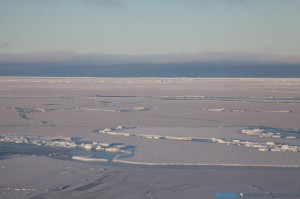
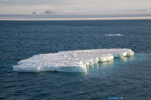
Sea Ice


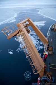
Sampling in the Ice


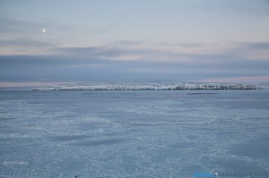
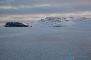
Prince Patrick Island, the North side of M’Clure Strait


After we finished sampling, it was time to head south through the ice to our next sampling area at the mouth of Amundsen Gulf.  The moon was shining brightly reflecting on the ice as we steamed south and said goodbye to a fantastic two days in the ice!


Steaming South out of the ice…


October 15: M’Clure Strait…Into the Ice!


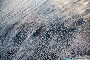
The day started out much the same way as the day before ended, with us steaming.  But within a few hours, we were beginning to see newly forming pancake ice!  There is nothing on this earth that is as beautiful as sea ice and if I needed reaffirmation of that, I got it today as we steamed through endless pancake ice to our next station inside M’Clure Strait.  As we approached Banks Island and the promontory that marked the opening to the Strait, the ice became a bit thicker and there was a quiet excitement to be sampling in this new and exciting area so far north.


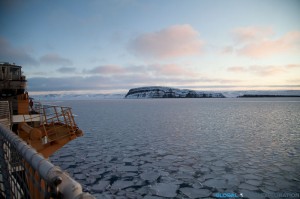
Ice with Cape M’Clure in the distance

Pancake Ice

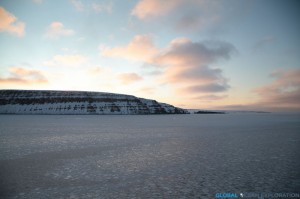
We continued around Cape M’Clure and into the Strait where we were going to sample, getting only 700 meters from shore for our first sampling station.  The sun was shining and it has to be one of the most beautiful places I have ever been.  With pancake ice forming before our eyes and yellow glowing cliffs, we watched the sun set over the cliff as we positioned the boat.  Truly a magical spot and to think about how few people have been here and the explorers that came here so long ago blew my mind.  Then it got dark and the moon was out and shining brightly, reflecting on the ice.  Only one word can describe this place: stunning.  Hard to put into words, but very special…as one person said, we are in a remote and special place…I couldn’t say it better…

Looking into the Strait: Cape Crozier

Out of the Strait: Cape M’Clure

Larger Pancake Ice as we headed to our sampling station

At our sampling station, only 700m from shore

The sun setting behind Banks Island

A beautiful Arctic night


October 14: Rough Seas and Sampling in the East…


After 36 hours of steaming, the day dawned with a beautiful sunrise over Robilliard Island as we arrived at our sampling station just south of M’Clure Strait in the Canadian Archipelago.  The wind has certainly picked up and the seas are rough and choppy.  It is much colder up here as the entire deck is encrusted in ice and slush.  With the soft light of the day, it is quite beautiful.  The days are getting shorter and shorter both as we head north and get later in the year.  I believe we are losing about nineteen minutes of sunlight each day!


We have been collecting water samples along our transect the entire day in order to determine our next sampling area.  Hopefully it will involve getting into some ice as the area around the ice edge is particularly interesting in terms of productivity and ocean chemistry!