Category Archives: Ocean Acidification

Another Arctic Predator…


Bubo scandiacus (photo credit: Luke DeCicco, USFWS)

Polar bears are the quintessential Arctic predator, but there is another equally well-adapted creature to this cold icy environment, the Snowy Owl.  While we were sampling at the mouth of Amundsen Gulf, in the distance a large bird was flying towards the ship.  As the bird approached the ship, it became clear that it as a Snowy Owl soaring majestically around the ship.  Next thing we knew there was more than one and we had at least four owls flying around the ship!  It was incredible…a flock of Snowy Owls just coming by to check us out!


A snowy owl taking a rest on the ship


October 17: Steaming South, Amundsen Gulf


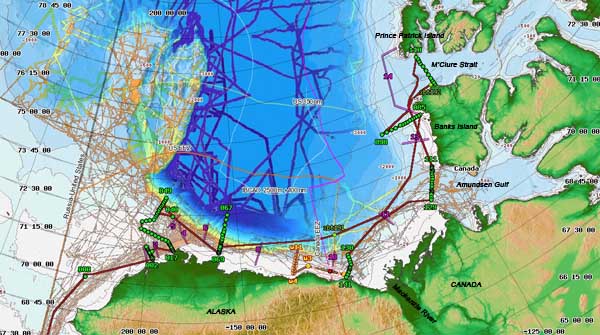
Map of the Cruise Track (courtesy Healy Map Server)

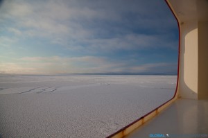
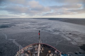
After an exciting two days in the ice, it was time to head south to our next sampling area at the mouth of Amundsen Gulf. Half of our transit was in thick ice so the ship rattled and shook all night as we broke through the ice. There is nothing quite like being on an ice breaker as it is very loud as we go through the ice and as we hit larger pieces of ice, the hull rattles and sounds as if it is going to break. It is quite an experience and unlike anything else. At around 3am, we hit open water and could then move faster towards our next stations about 240 nautical miles away.


Like the previous two days, we are sampling at the mouth of one of the straits of the Northwest Passage. For centuries, explorers had looked for ways to navigate these waters to find a faster way to reach Asia for trade, although never successful in this mission due to ice blocking the passage. Much like these explorers of the past, we are looking for modes of passage to the Atlantic but instead of searching for trade routes, we are looking for the pathways with which Pacific water is entering the North Atlantic. During the summer, Pacific water takes a one-way journey to the Arctic Ocean through the Bering Strait and the question is: how does this Pacific water get to the Atlantic Ocean? Does it find the long sought after pathway through the Northwest Passage or does it find another route? We are hoping that sampling in these two straits will reveal the answer to this mystery or at least add some insight into this complex system of water movement. One thing is certain, the global “conveyor belt” of ocean circulation is certainly more complex than we once thought.


Sea Smoke rising off the water in the early morning near Amundsen Gulf


Explorers Club Flag


Gaelin Rosenwaks & Jeremy Mathis with EC Flag #118 in front of Prince Patrick Island, at 75.42 N


Both Fellows of the Explorers Club, Jeremy Mathis and I are honored to be carrying Explorers Club Flag #118 together on this expedition.  Flag #118 has been on many expeditions since its first expedition in Australia in 1946 including one to the summit of Mt Everest!  We are very excited to include our expedition in the great history of the Explorers Club and, as young explorers, to continue the great legacy of exploration that is embodied in the Club and the honor of carrying the Flag.


October 16: Northernmost Point of Cruise


After a beautiful sun-filled day sampling in the ice that included a sighting of a polar bear, we reached the northernmost point of the cruise, just two nautical miles offshore of Prince Patrick Island on the north side of M’Clure Strait at 75.42 degrees North.  It is very cold up here with temperatures hovering around 3 degrees Fahrenheit, -13 degrees F with wind chill!  Despite the cold temperatures, I spent much of the day outside, going inside only when I could no longer feel my fingers enough to hit the shutter on my camera.  We finished our sampling line just as the sun set and the moon rose over Prince Patrick Island.  It was another stunning day in the Arctic!


Sunrise in M’Clure Strait


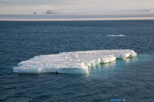
Sea Ice


Sampling in the Ice


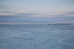
Prince Patrick Island, the North side of M’Clure Strait


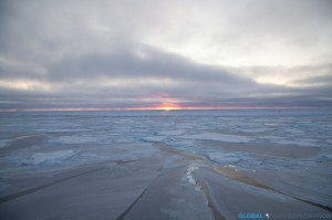
After we finished sampling, it was time to head south through the ice to our next sampling area at the mouth of Amundsen Gulf.  The moon was shining brightly reflecting on the ice as we steamed south and said goodbye to a fantastic two days in the ice!


Steaming South out of the ice…


October 16: Arctic Predator…POLAR BEAR!!!


Whenever I come on expeditions, everyone wants to know what animals I have seen. Here in the Arctic Fall as we find ourselves so far north, we have not seen many animals except for a few birds and the occasional seal. Today while in M’Clure Strait, we saw the ultimate arctic predator, a POLAR BEAR! As we steamed between stations towards Prince Patrick Island, there he was cruising all alone on the ice-covered sea; so beautiful and majestic. In this super harsh environment, this bear survives in all its glory. I feel very privileged to see a polar bear in its natural habitat, the sea ice. The bear looked up at the ship and, not phased by us, went on walking…So incredibly beautiful!


Just cruising on the vast sea ice


October 15: M’Clure Strait…Into the Ice!


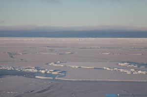
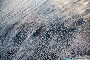
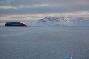
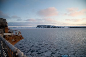
The day started out much the same way as the day before ended, with us steaming.  But within a few hours, we were beginning to see newly forming pancake ice!  There is nothing on this earth that is as beautiful as sea ice and if I needed reaffirmation of that, I got it today as we steamed through endless pancake ice to our next station inside M’Clure Strait.  As we approached Banks Island and the promontory that marked the opening to the Strait, the ice became a bit thicker and there was a quiet excitement to be sampling in this new and exciting area so far north.


Ice with Cape M’Clure in the distance

Pancake Ice

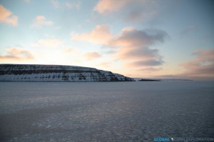
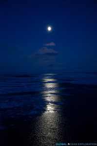
We continued around Cape M’Clure and into the Strait where we were going to sample, getting only 700 meters from shore for our first sampling station.  The sun was shining and it has to be one of the most beautiful places I have ever been.  With pancake ice forming before our eyes and yellow glowing cliffs, we watched the sun set over the cliff as we positioned the boat.  Truly a magical spot and to think about how few people have been here and the explorers that came here so long ago blew my mind.  Then it got dark and the moon was out and shining brightly, reflecting on the ice.  Only one word can describe this place: stunning.  Hard to put into words, but very special…as one person said, we are in a remote and special place…I couldn’t say it better…

Looking into the Strait: Cape Crozier

Out of the Strait: Cape M’Clure

Larger Pancake Ice as we headed to our sampling station

At our sampling station, only 700m from shore

The sun setting behind Banks Island

A beautiful Arctic night


October 14: Rough Seas and Sampling in the East…


After 36 hours of steaming, the day dawned with a beautiful sunrise over Robilliard Island as we arrived at our sampling station just south of M’Clure Strait in the Canadian Archipelago.  The wind has certainly picked up and the seas are rough and choppy.  It is much colder up here as the entire deck is encrusted in ice and slush.  With the soft light of the day, it is quite beautiful.  The days are getting shorter and shorter both as we head north and get later in the year.  I believe we are losing about nineteen minutes of sunlight each day!


We have been collecting water samples along our transect the entire day in order to determine our next sampling area.  Hopefully it will involve getting into some ice as the area around the ice edge is particularly interesting in terms of productivity and ocean chemistry!


October 13: Transiting


The ship’s wake as we head east…

After finishing up the first phase of the cruise yesterday, we began to steam east late last night. We are about midway through our 36-hour steam to the Canadian Archipelago where we will be sampling in the ice and along the ice edge. Heading so far to the north and east means we will be “off the edge” of our internet service for a few days so stay tuned after the weekend for updates! Hopefully there will be lots to report from our time in the ice…


What is Ocean Acidification?

The purpose of this cruise is to learn about the ocean chemistry of the Arctic Ocean and in particular ocean acidification. So the question is, what is ocean acidification (OA) and why do we care? The short answer is that OA is the decrease in pH of the ocean due to increased free hydrogen ions in the water making it more acidic. We care because with this increasing acidity, the amount of carbonate minerals, in particular calcite and aragonite, available for animals to use for shell production and other metabolic needs, decreases and the ocean becomes under-saturated with respect to these carbonate ions.

Here is a diagram of the chemical reaction that leads to ocean acidification with the introduction of carbon dioxide, CO2, into the ocean. In the past century, since the Industrial Revolution, more and more CO2 is introduced from anthropogenic sources. The carbon dioxide enters the ocean, a sink for the CO2, where it combines with water and becomes carbonic acid which is very unstable. The carbonic acid breaks apart leaving a free hydrogen atom and bicarbonate. The resulting bicarbonate breaks up farther becoming a carbonate ion and another free hydrogen ion. Acidity is dependent on the number of hydrogen atoms in the water column so with more hydrogen atoms, you get a lower pH or higher acidity. On this cruise, dissolved inorganic carbon (DIC) and alkalinity are measured in order to derive pH. Alkalinity is the measure of the buffering capacity of water or the capacity of the water to neutralize acids. This buffering capacity is largely in the form of bicarbonate.
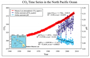
This graph shows the increase in CO2 concentration in the atmosphere since the 1950s and is the longest time series of data for this measurement. The ocean is a sink for much of this CO2 and has taken up between 1/3 and ½ of all anthropogenic CO2 emissions. Because the amount of CO2 in the ocean’s surface waters has increased considerably, the acidity of the ocean has increased due to the reaction outlined above. This increased acidity is highlighted in the Arctic regions where the ocean is naturally low in carbonate ion concentration due to ocean mixing patterns and increased solubility of CO2 in cold water.


The water samples collected on this cruise will help to build a better, more accurate, picture of how the increasing CO2 in our atmosphere will impact these fragile ecosystems.


October 12: Mooring Deployment…Phase II


The new mooring buoy ready to be deployed

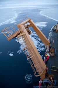
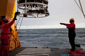
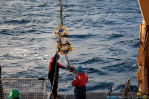
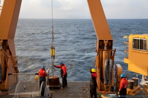
After recovering two moorings yesterday, the team did a quick turnaround due to impending weather and redeployed them today.  Like recovering the mooring, deploying was quite an operation done with careful precision.  The BS3 mooring with all of its various instruments was redeployed to collect data for another year adding to the time series of data from this location.

Fresh new instruments being deployed. An ADCP and pCO2 Sensor


The Mooring Anchor


Right before heading into the depths…


See you in a year…


With the mooring operations complete, we are moving on to Phase II of the expedition which involves a long steam northeast to the Canadian Archipelago where we will be completing CTDs and water sampling along the shelf.  I am very exciting for this work as we will be heading into the ice!